The Lost Coast of California
It would seem that the builders of Highway 1 dutifully followed the California coastline for the majority of its 1,000+ miles but the King Range in northern Mendocino and southern Humboldt Counties presented too much of an engineering challenge. The result is a section of coast with almost no roads and very few human inhabitants. There is a popular hiking trail but I wanted to traverse the Lost Coast by sea kayak.
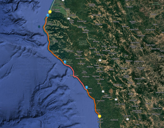
In July 2011 invited some good friends to join me - Matthew Palmariello, Anders Landin and Bryant Burkhardt, all experienced paddlers and great guys. As well as enjoying their company, it would make the shuttle logistics more simple. We left my truck at Westport Beach, just south of where Highway 1 diverts inland, climbing over the ridge to the Eel River drainage. We followed the Eel River a hundred miles north until we met the Pacific Ocean again at Ferndale. Despite overcast skies from the ubiquitous marine layer so characteristic of the Northern California Coast, our spirits were high that afternoon as we loaded our kayaks and launched through the chest high surf.
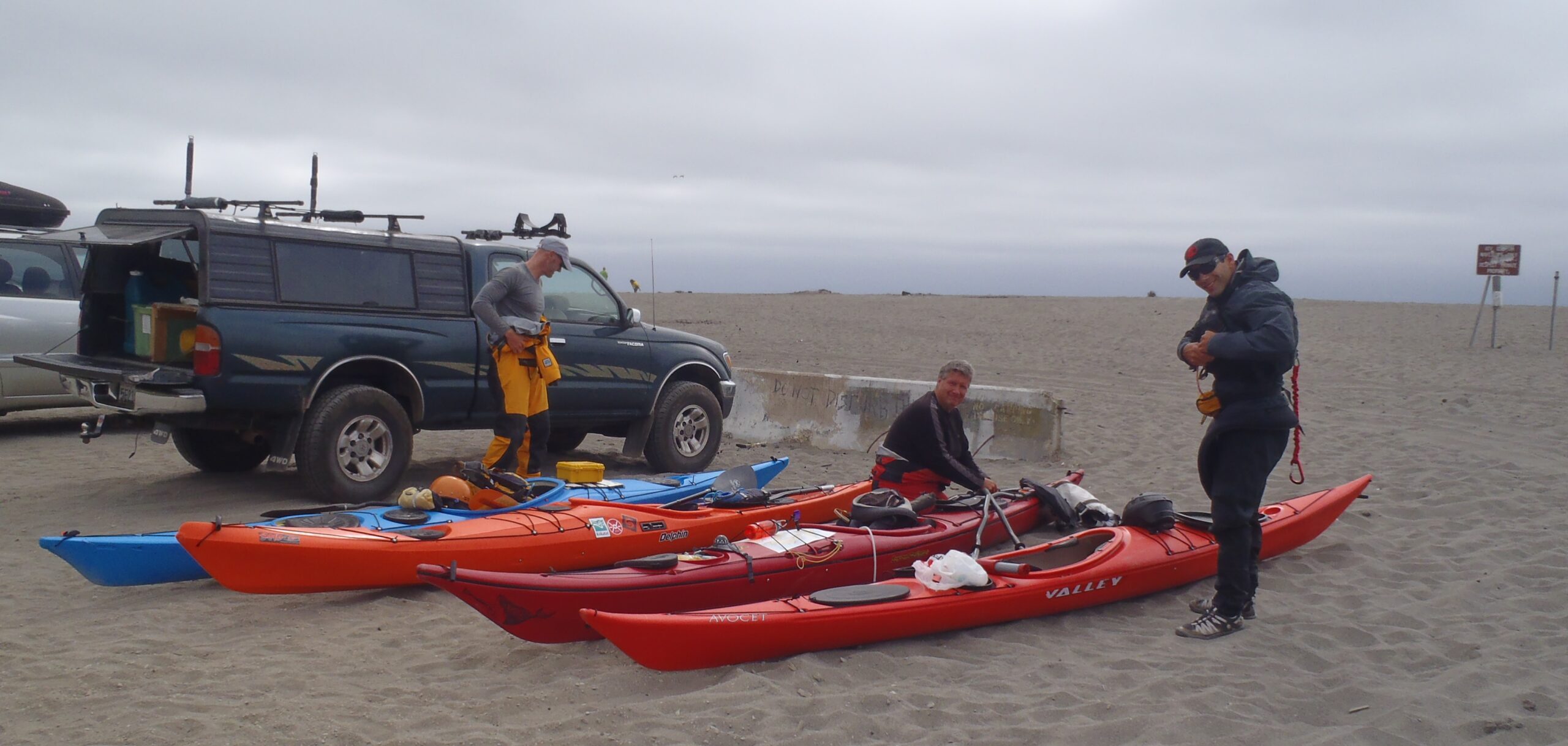
One of the challenges of paddling the Lost Coast is the lack of guaranteed landings, especially for the first half of the journey. Steep black-sand beaches, rocky shorelines and persistent swell propagating from storms in the Northern Pacific make it difficult to know for sure that landing is even possible for significant stretches of the Lost Coast. After a brief paddle south it was time to find a suitable landing and campsite before dusk and the fog reduced visibility too much. We were fortunate that the swell was dropping and we could have landed pretty much anywhere we wanted.
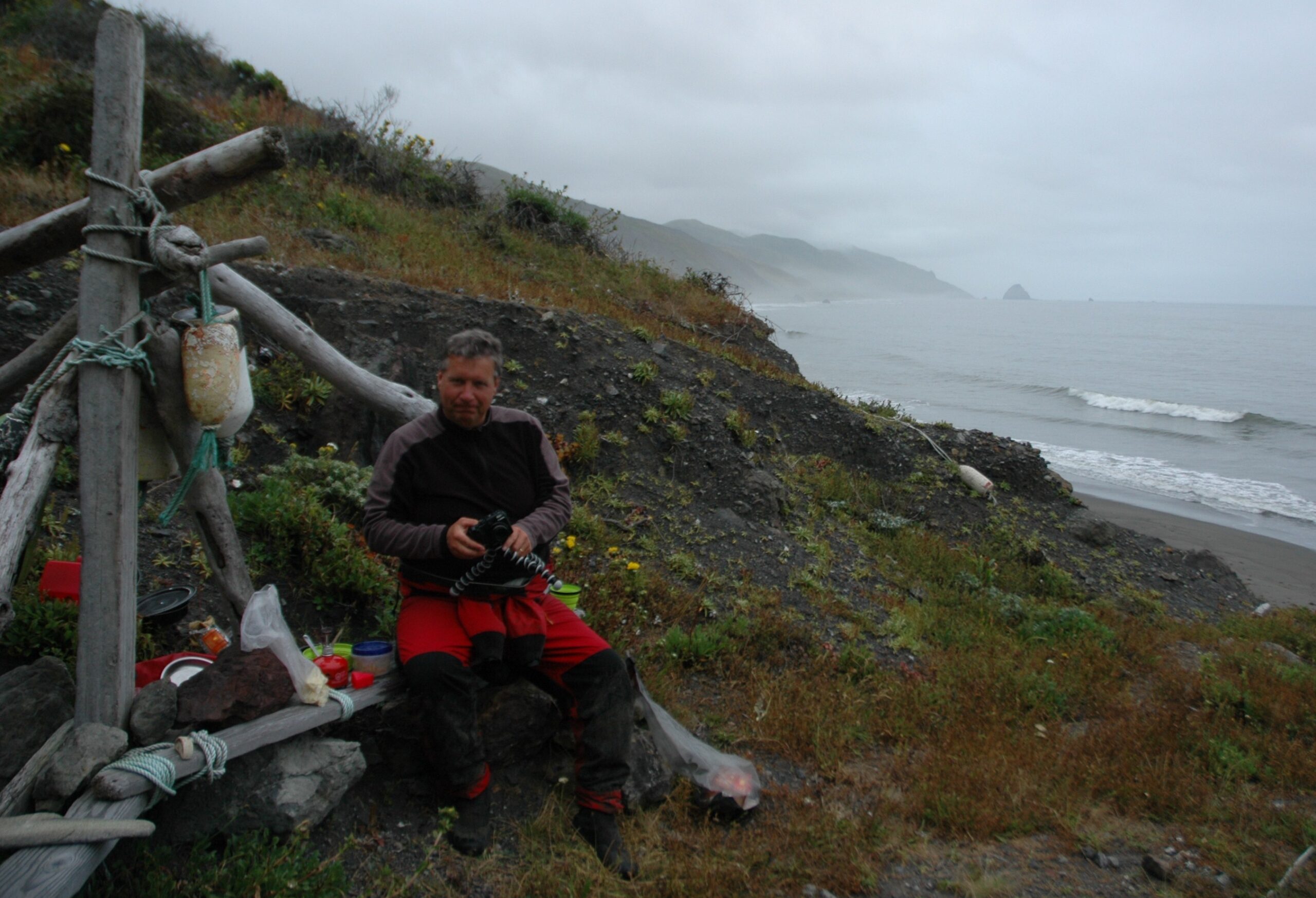
Cape Mendocino is the most westerly point on the California coast and as such is exposed to strong north-westerly winds in Spring and Summer and frequent storms in winter. Earthquakes are also a feature of this area. The Mendocino Fracture Zone is situated offshore where the Gorda Plate, the Pacific Plate and the North American Plate converge in a tectonic orgy of bumping, scraping and grinding. Thankfully we were blessed with a tranquil night and the sea remained calm the next day as we worked our way south past the cape.
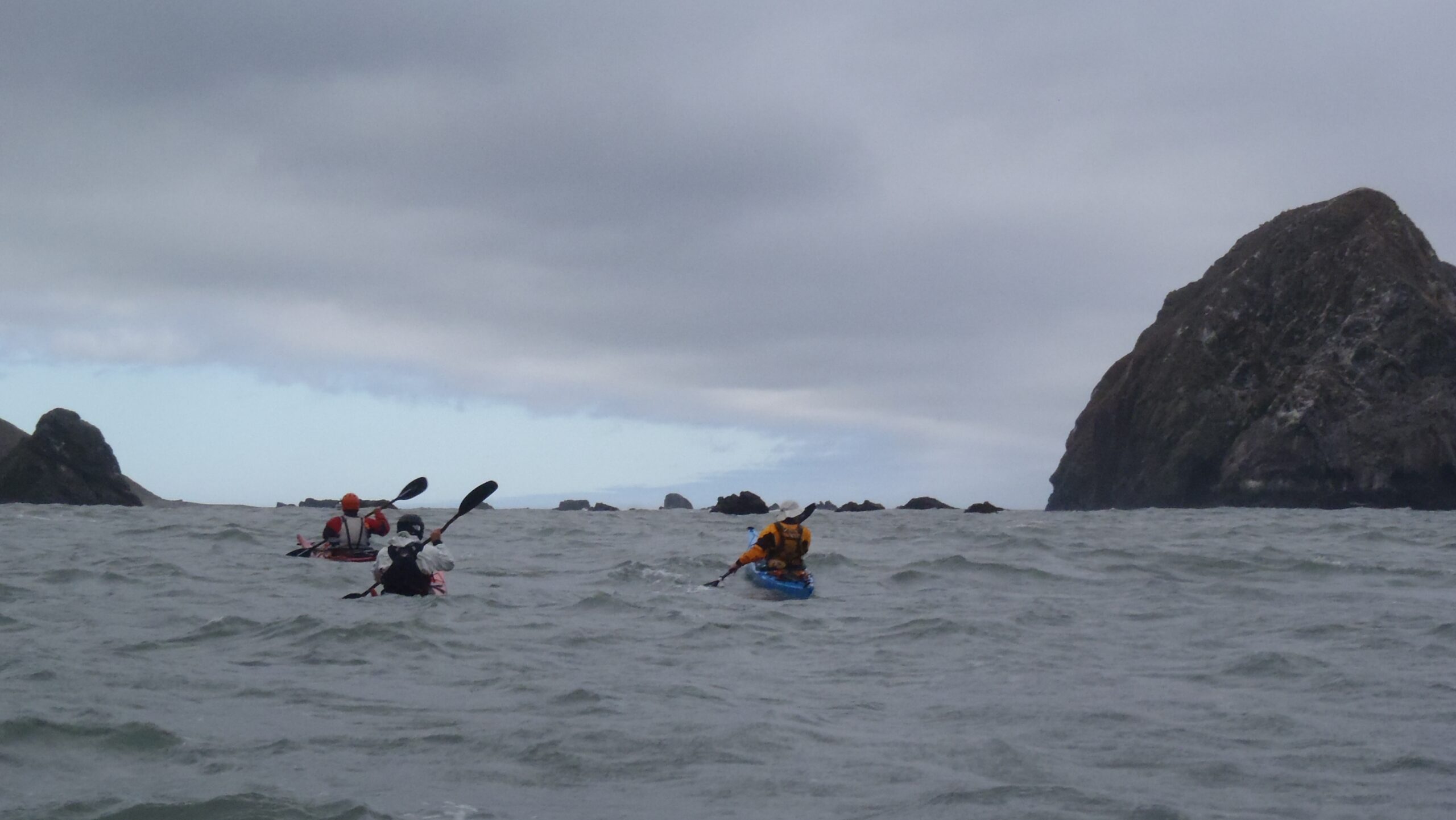
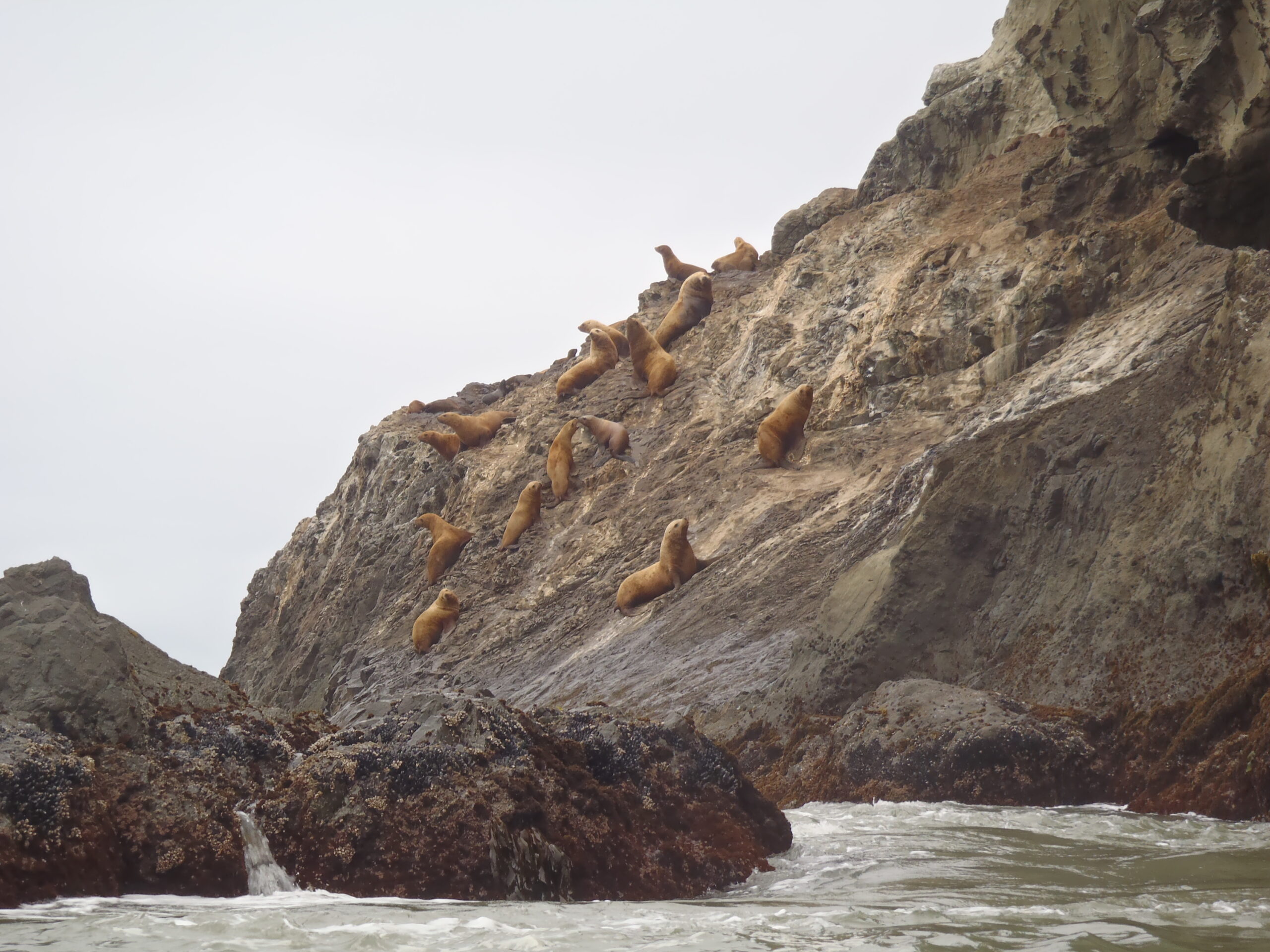
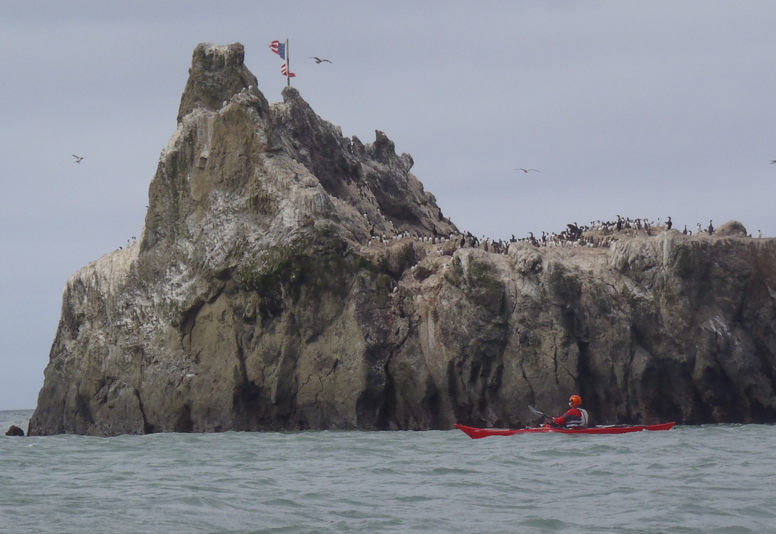
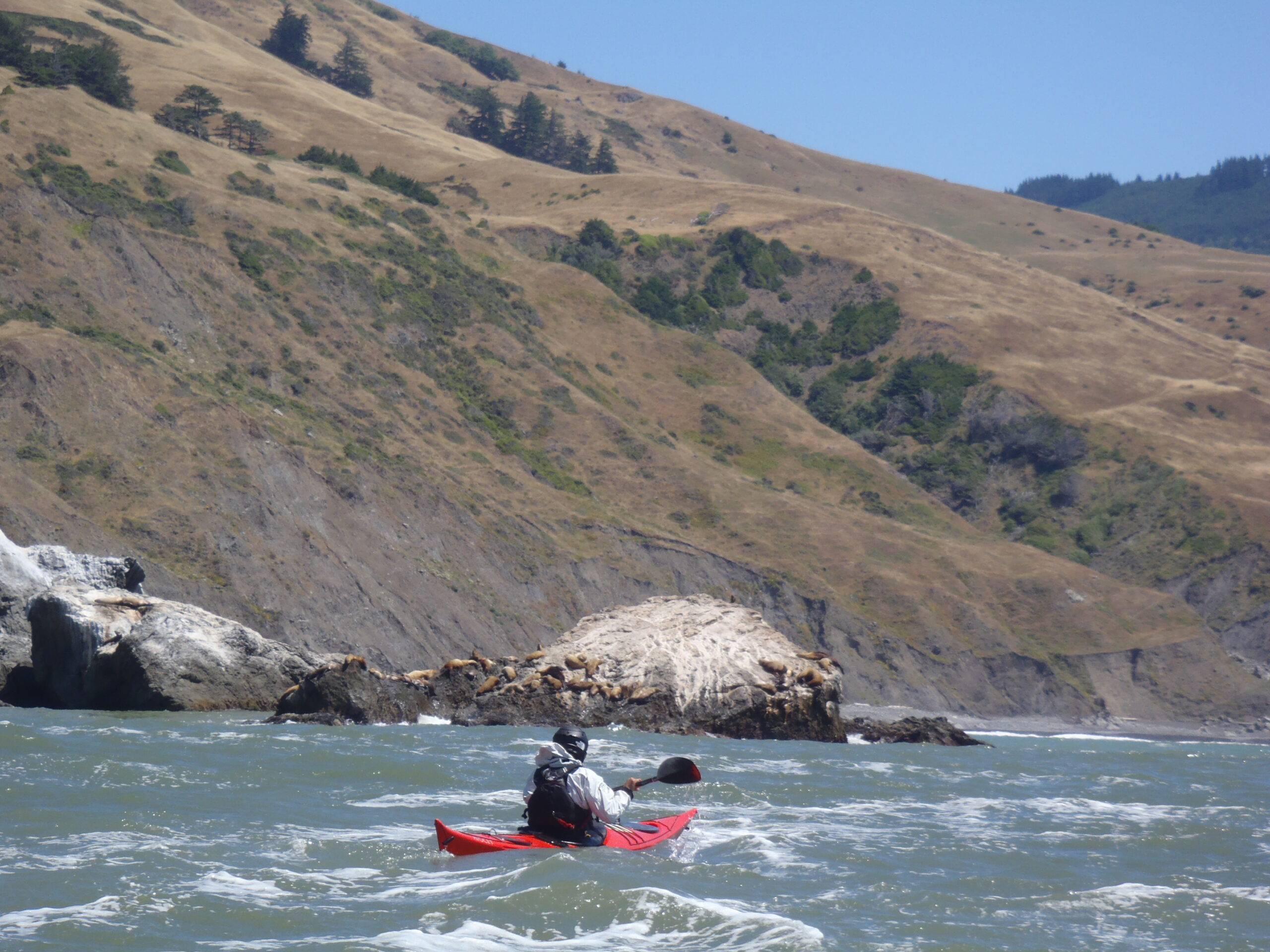
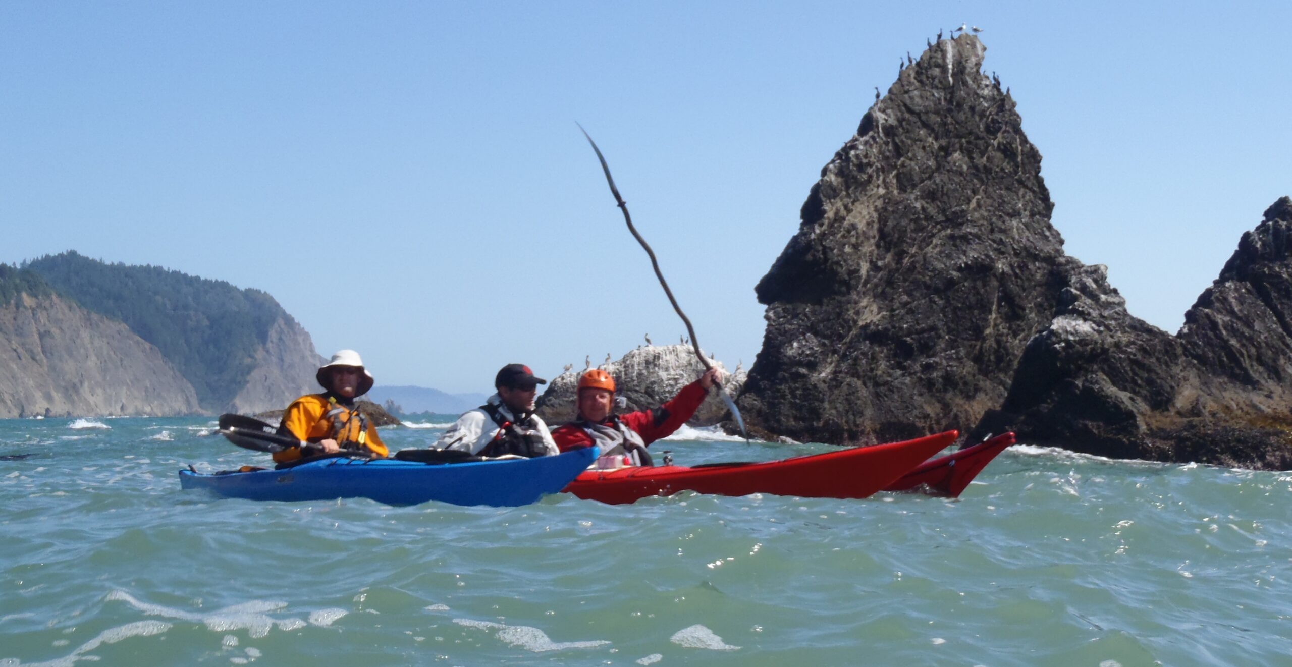
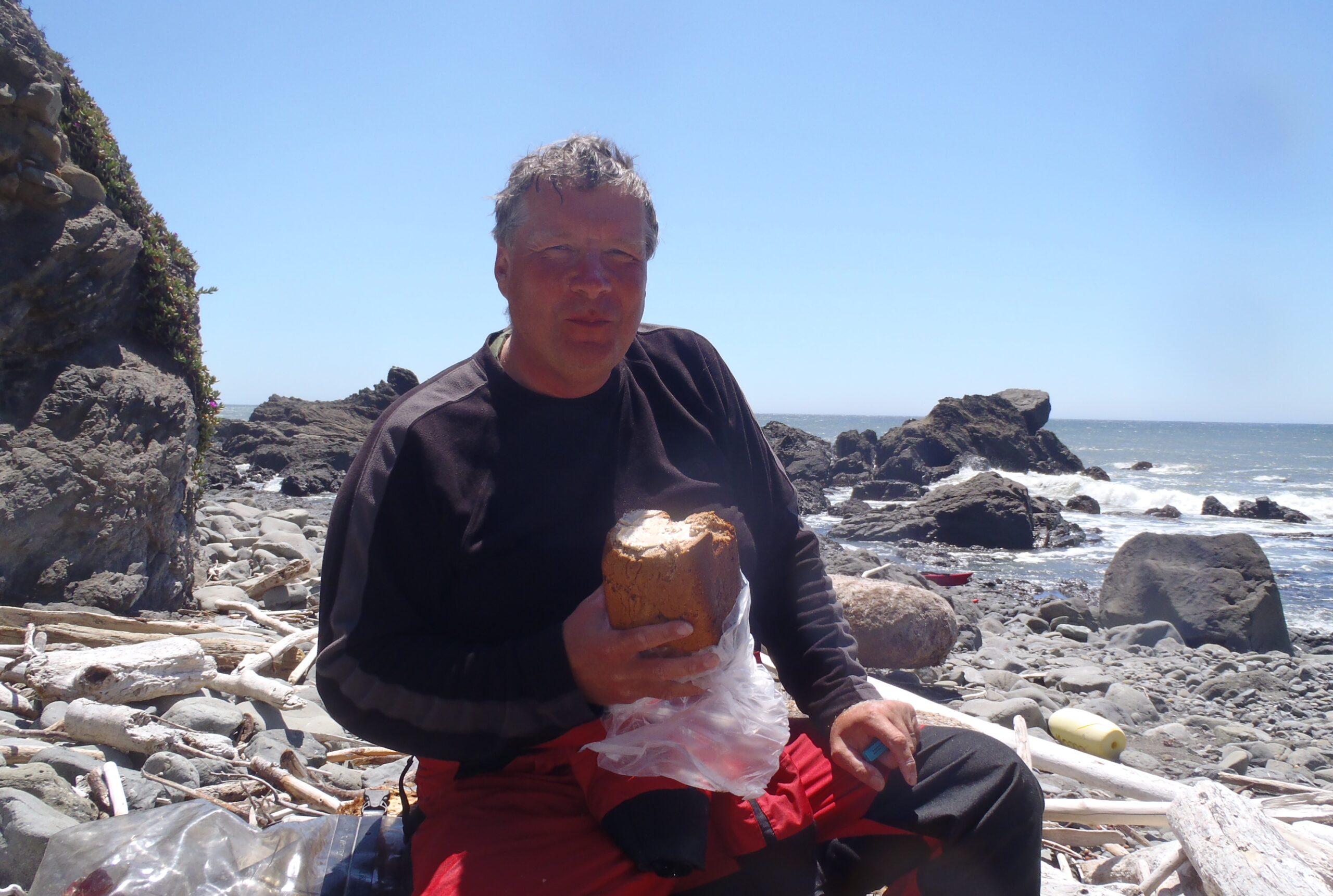
We had chosen to use plastic sea kayaks so that we would be free to play in amongst the rocks and surf. The few large rocks we passed on this northern section were occupied by sea lions necessitating giving them a wide berth. The marine layer burnt off revealing a majestic coastline and a tailwind made for easy paddling despite our heavy kayaks. We stopped for lunch just past Punta Gorda lighthouse.
We'd been told about a 'secret' surf spot but although it proved to be a perfect campsite there were no waves to ride 🙁
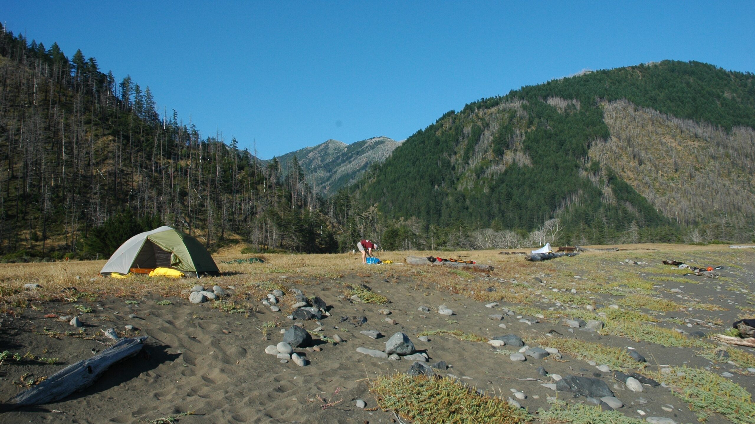
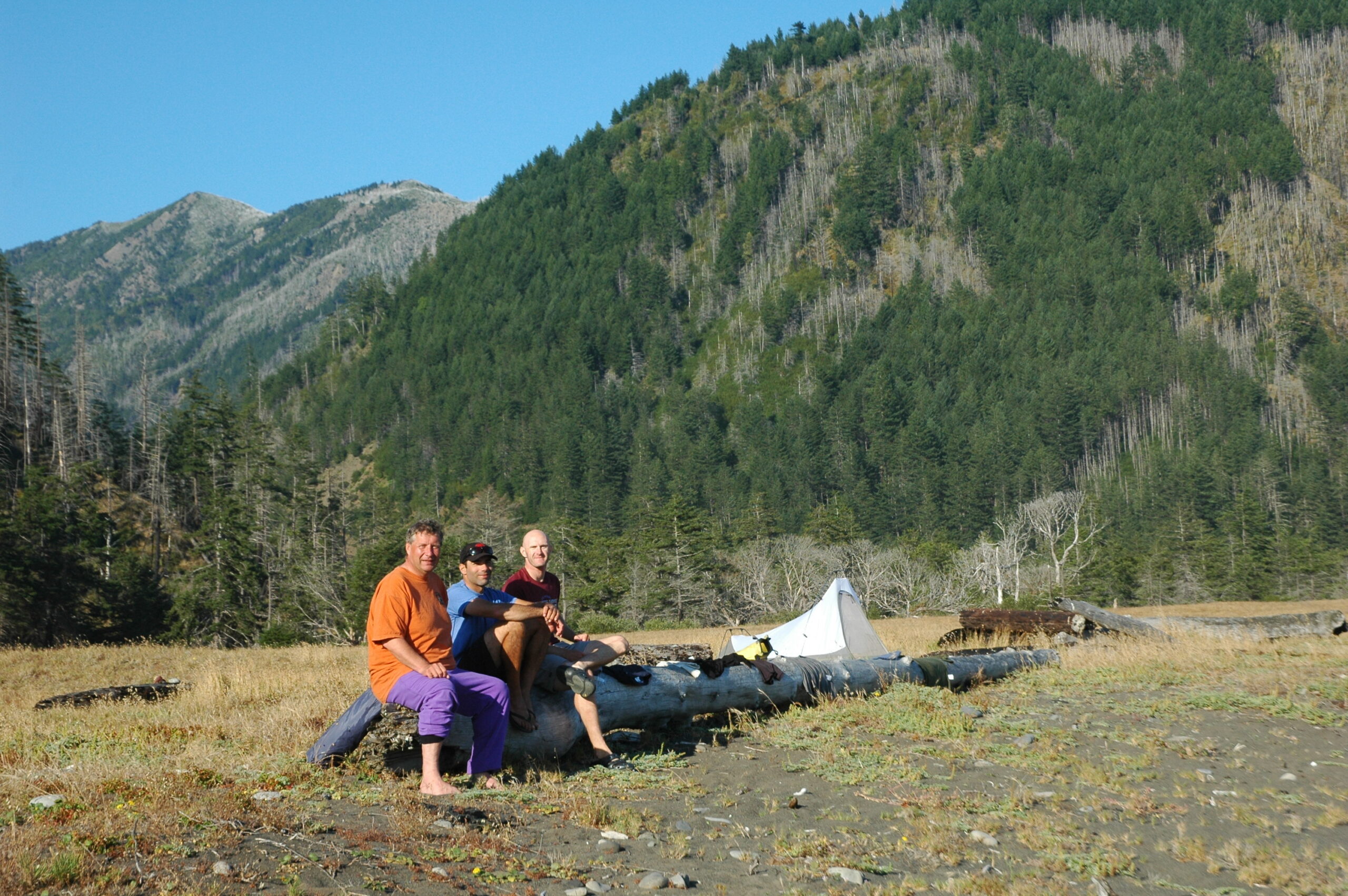
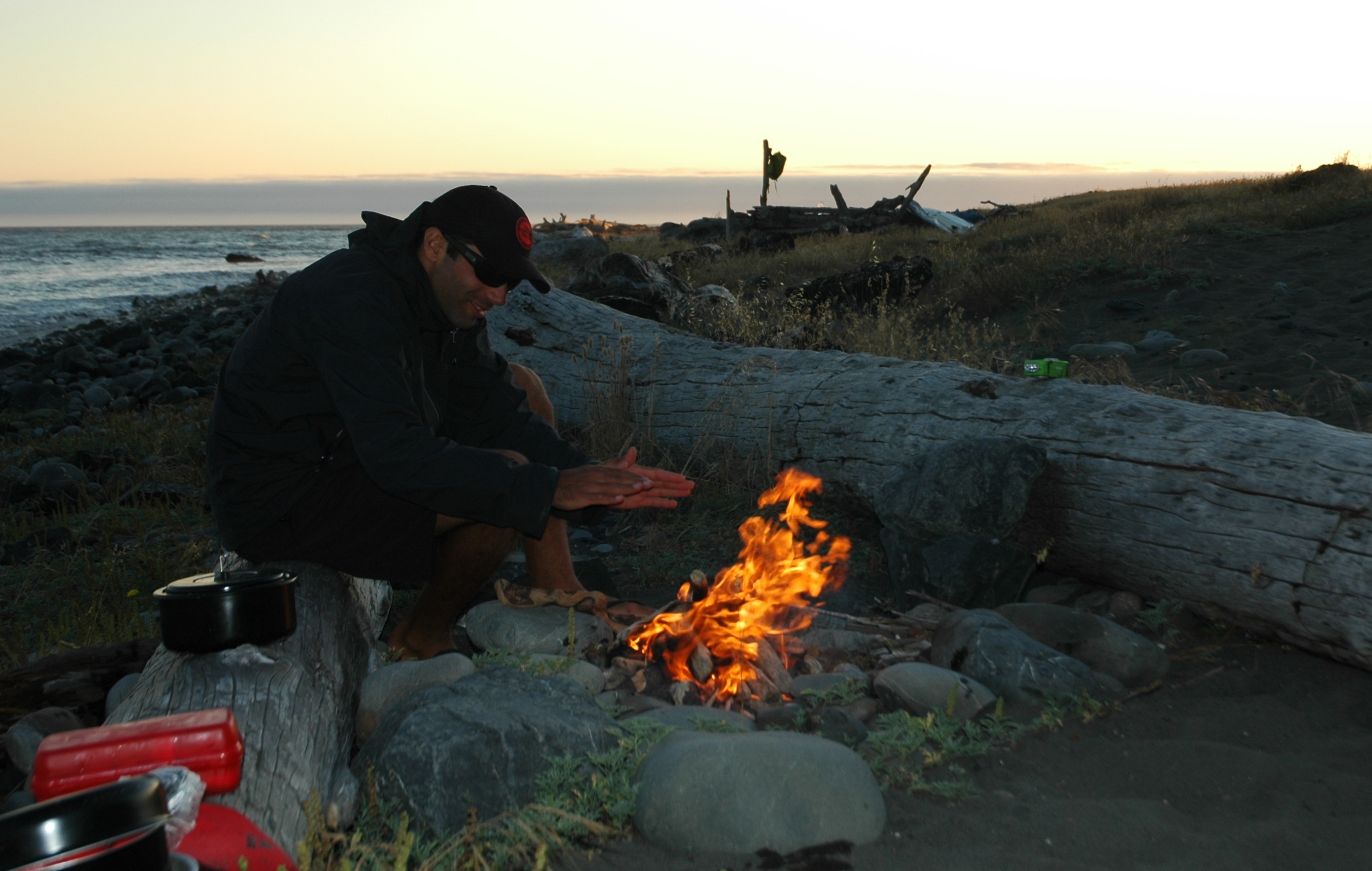
The Lost Coast stretched south towards Shelter Cove.
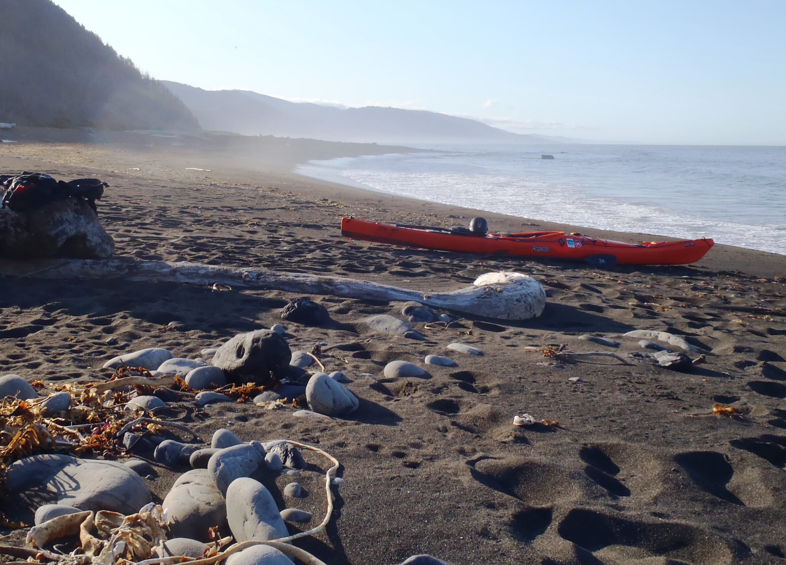

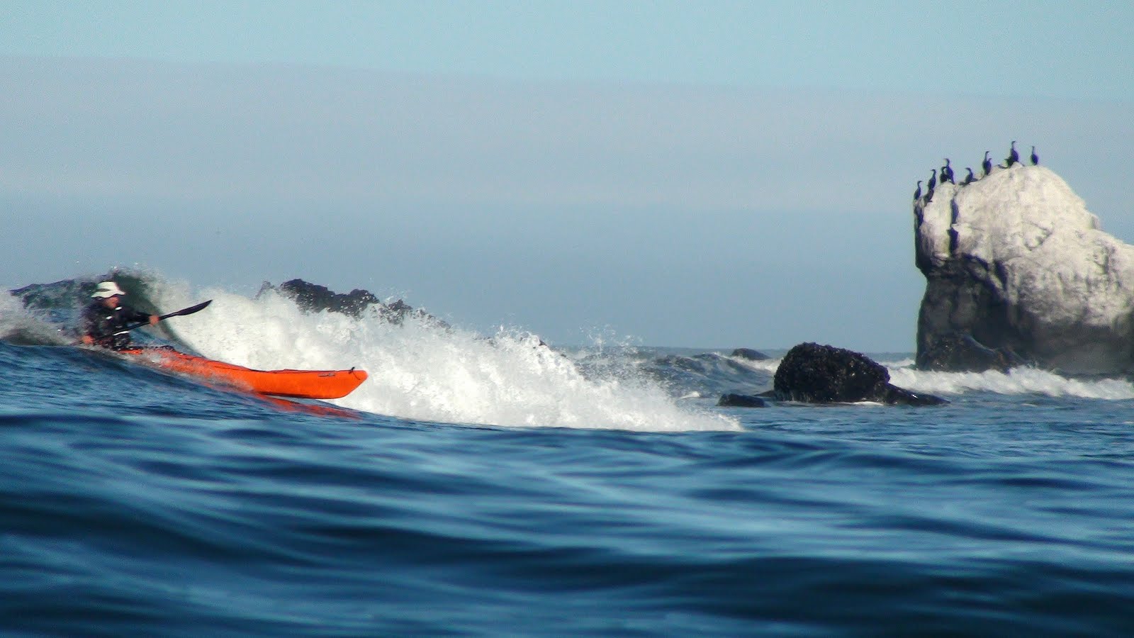
At last we found some waves to ride as the swell slowly increased through the day. Photo by Bryant Burkhardt.
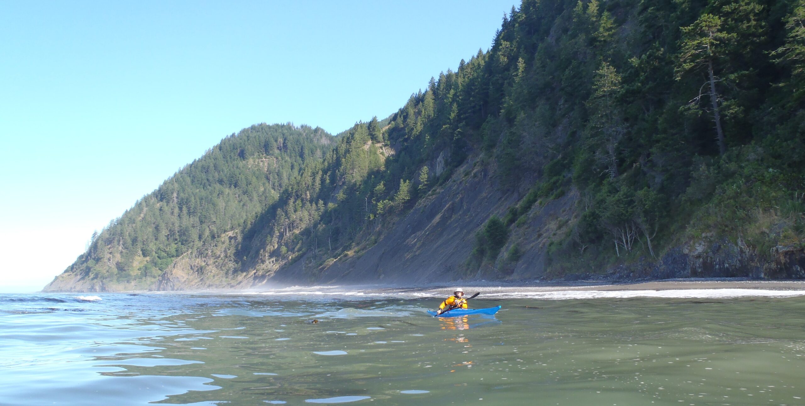
Bryant following a seemingly endless beach.
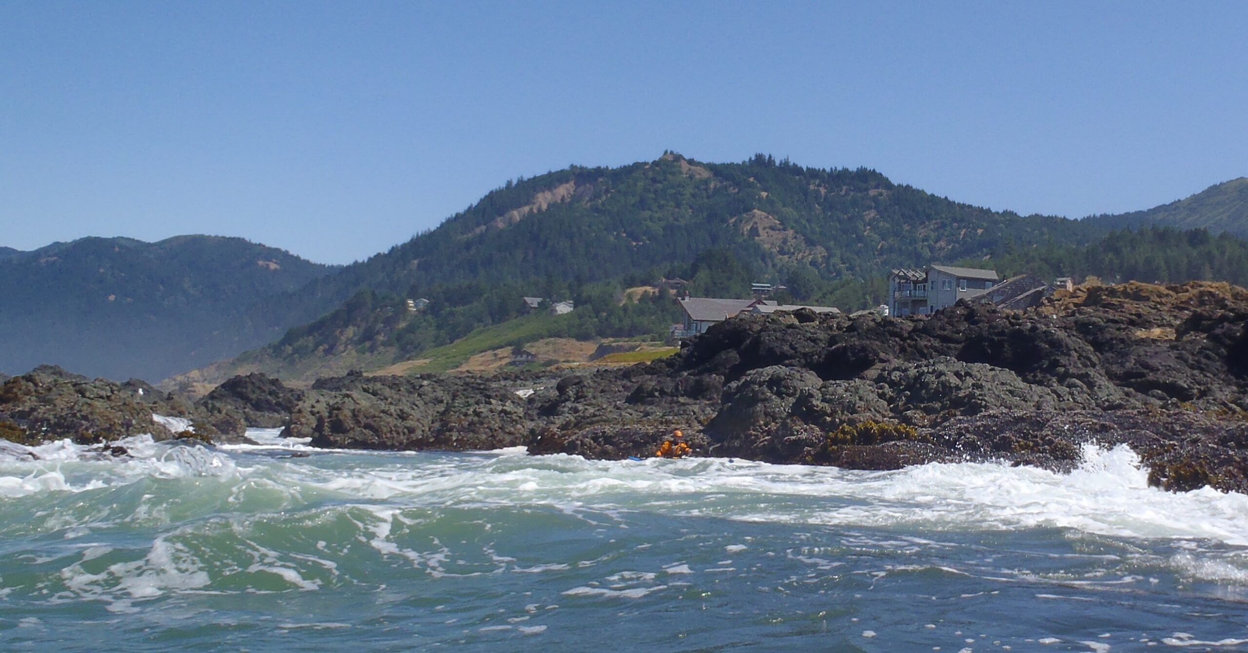
We found some action in the reefs protecting Shelter Cove, the only community on the Lost Coast. Notorious for the terrible roads to get there but apparently worth it for the great fishing. We stopped only briefly before continuing south to our next campsite at Bear Harbor.
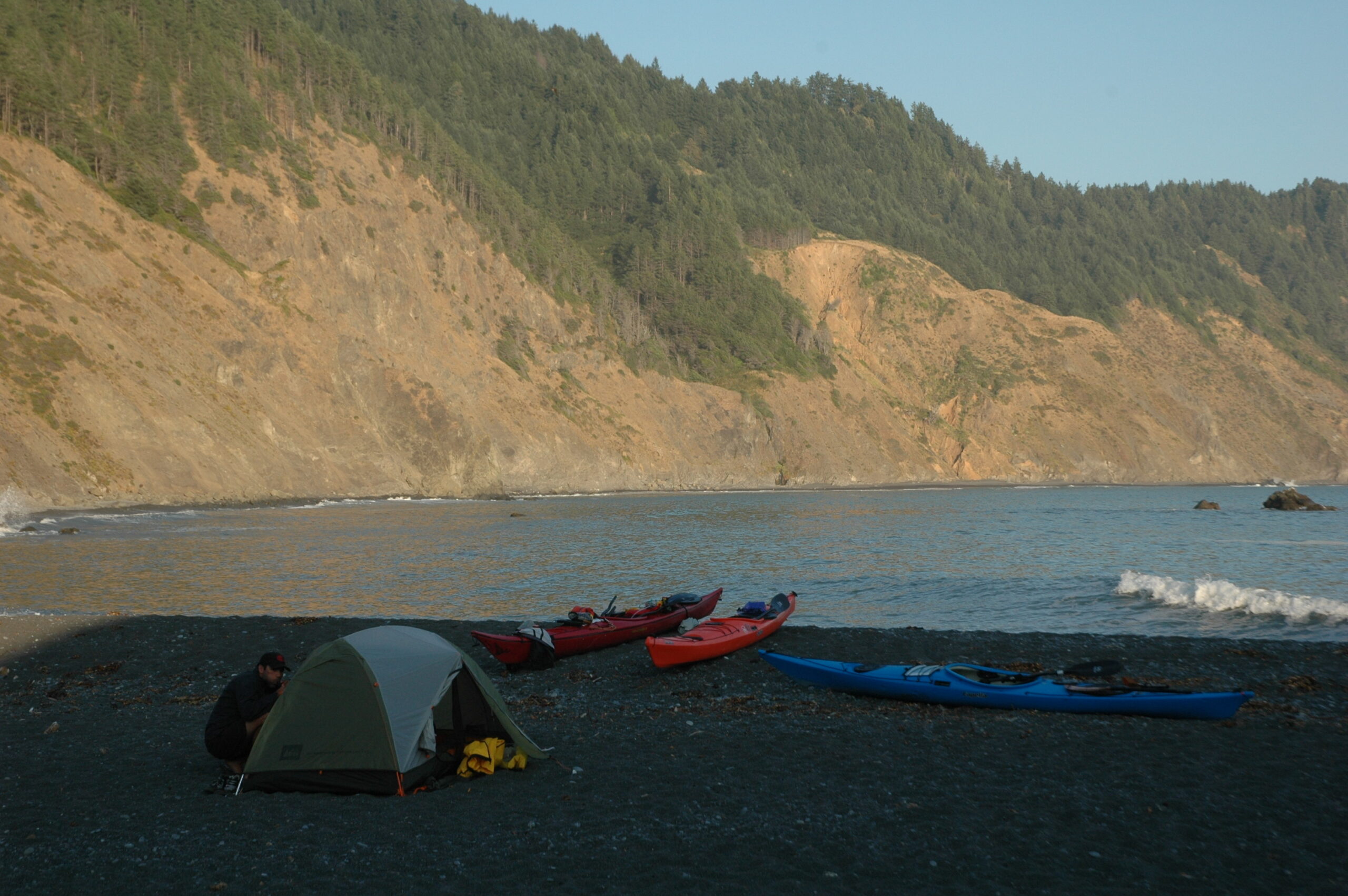
Elk had taken over the campground so we opted to camp on the beach! We enjoyed the warm sunshine and a blissful sunset sunset.
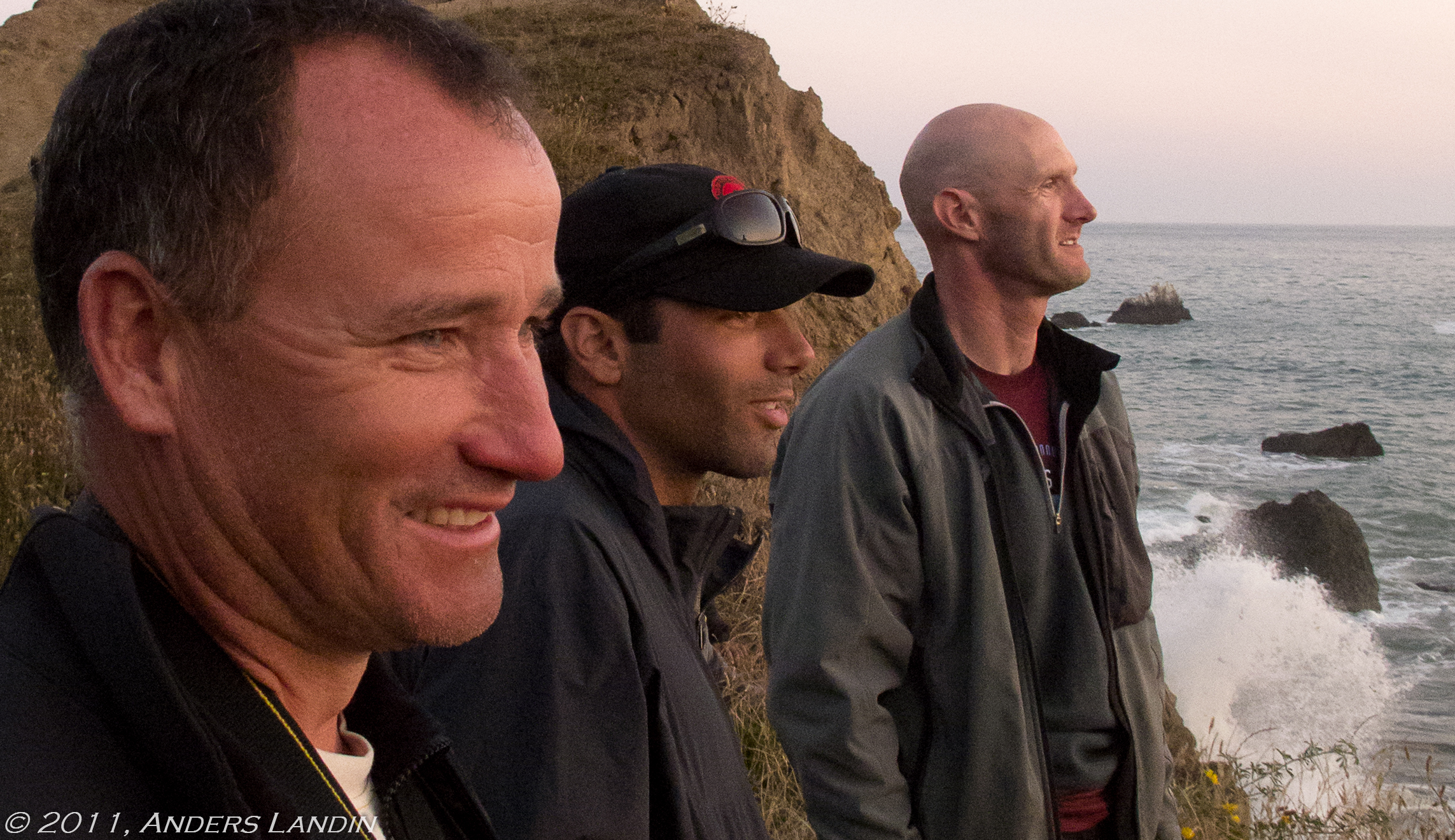
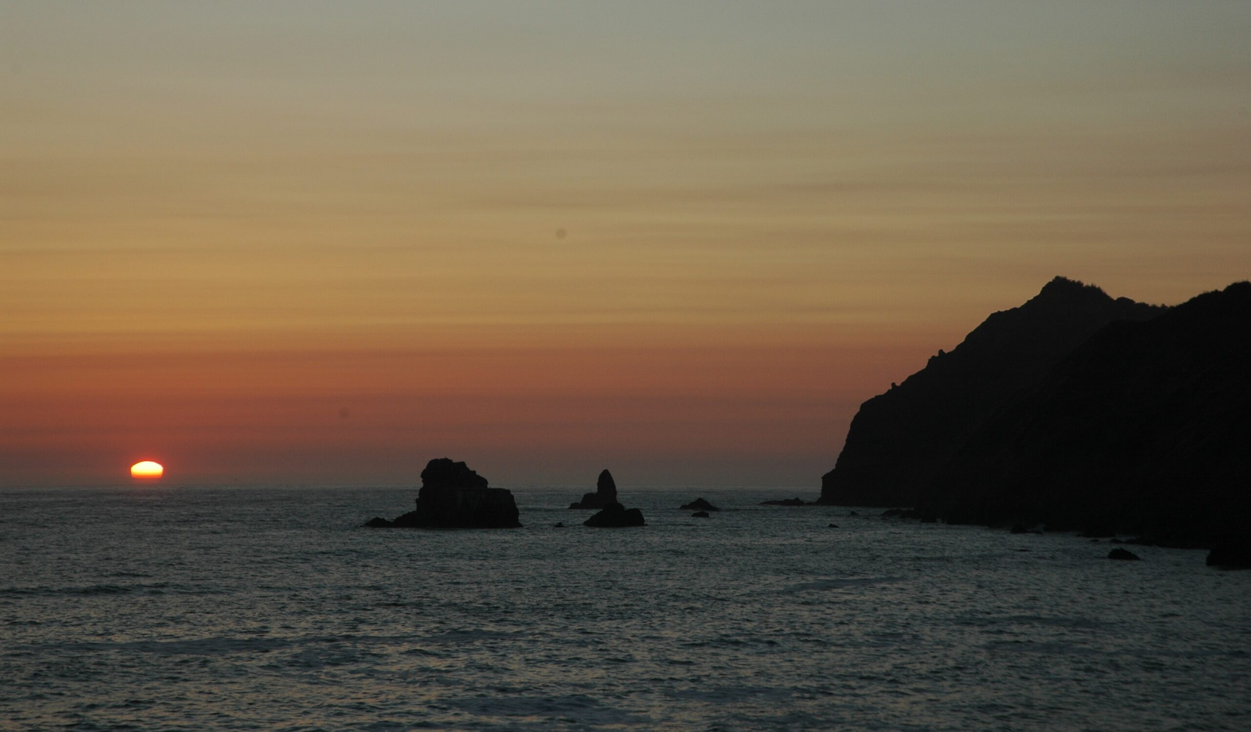
The following morning we couldn’t resist playing in the rocks protecting Bear Harbor before we continued our journey south.
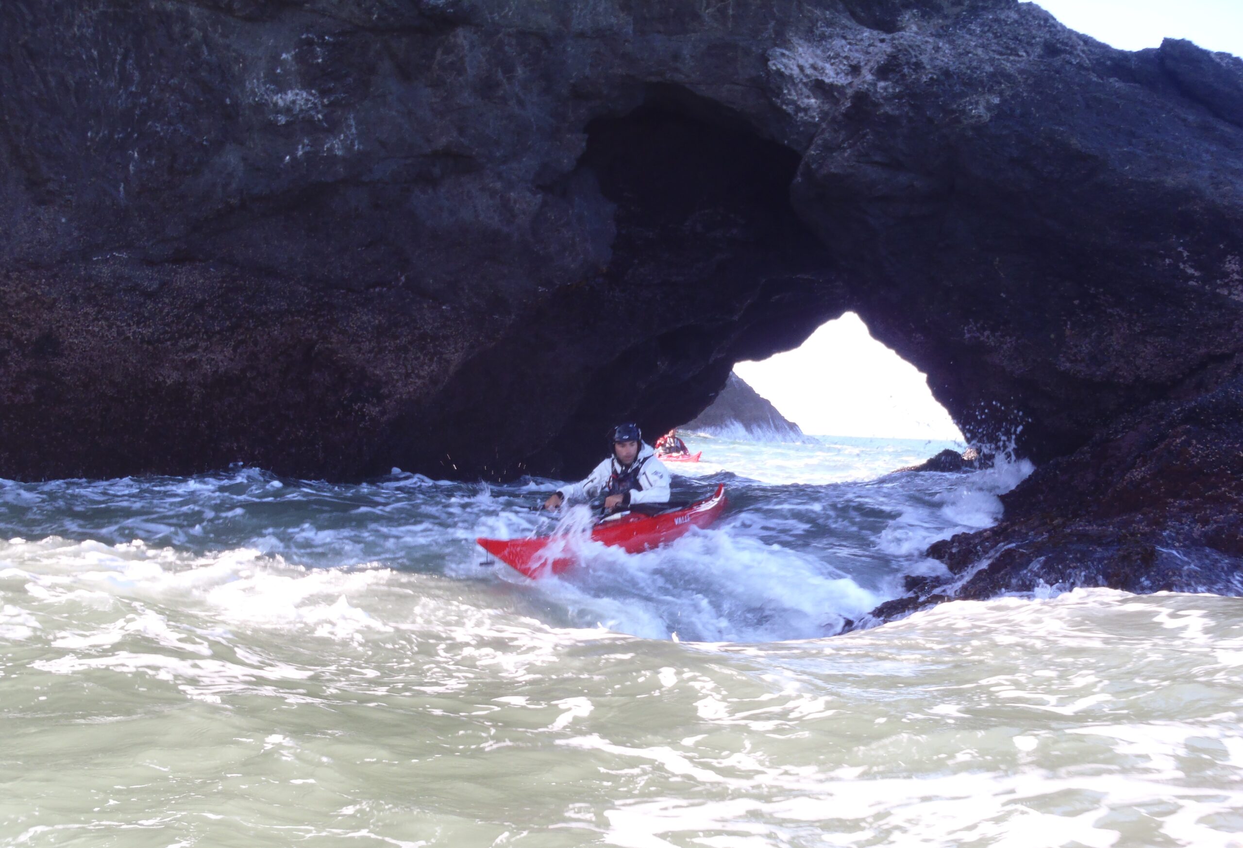
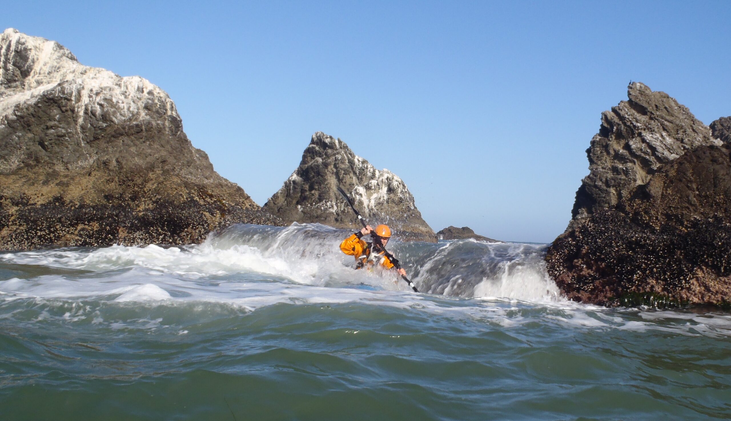
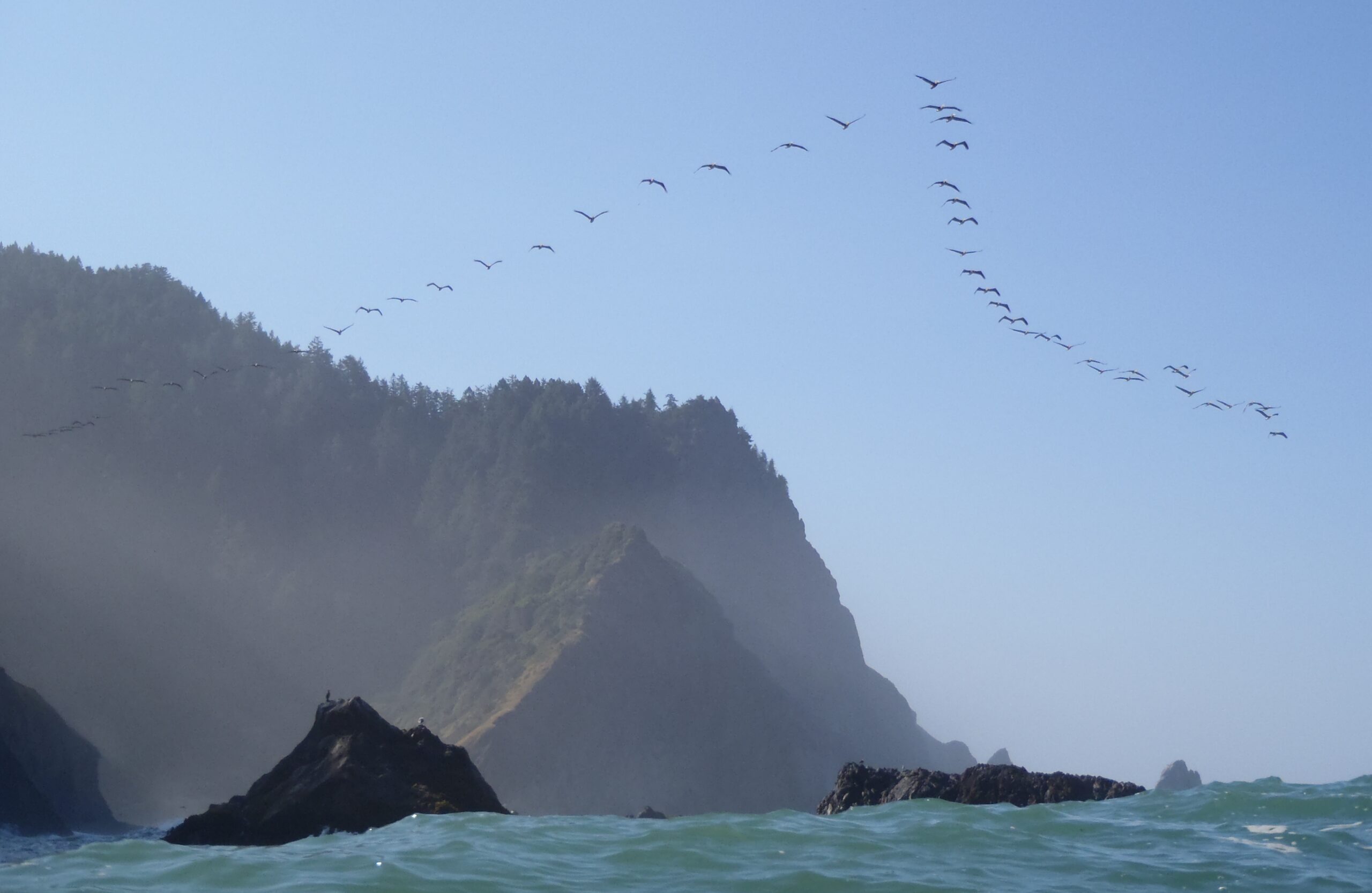
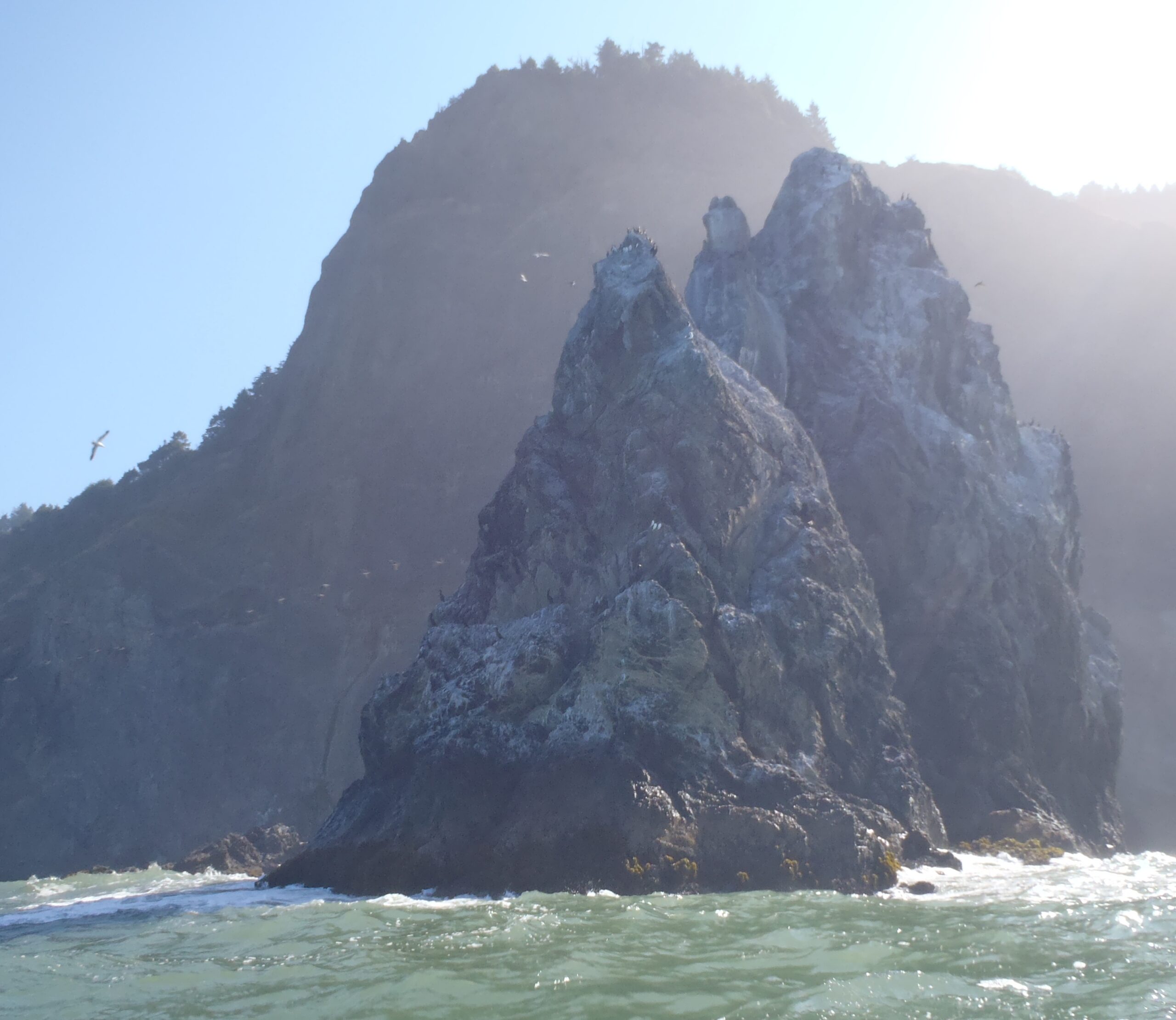
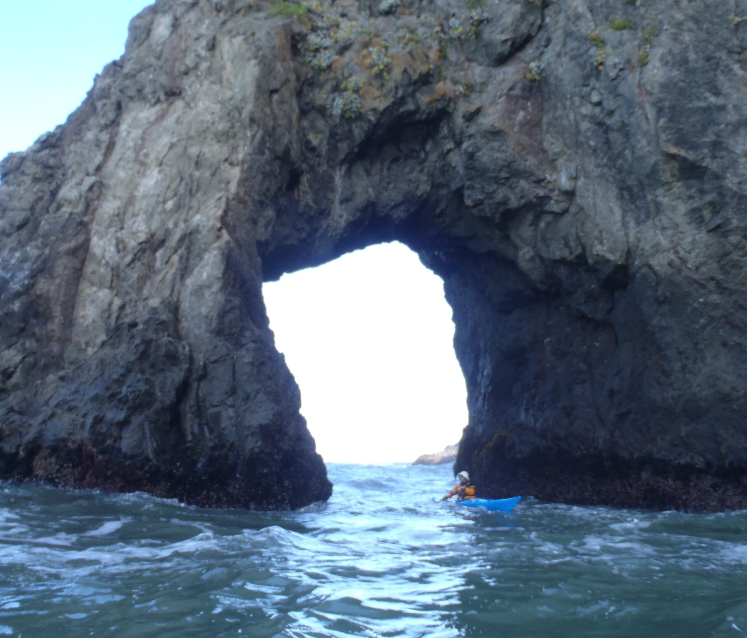
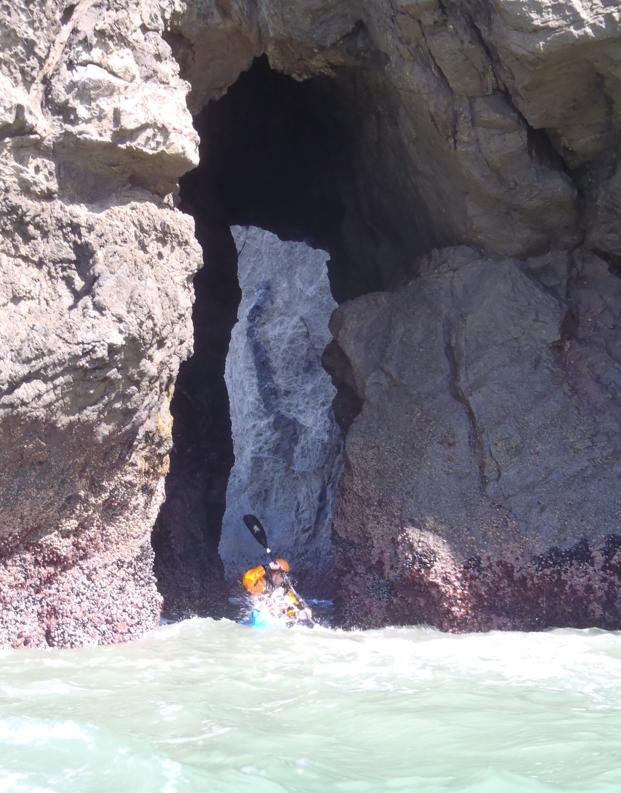
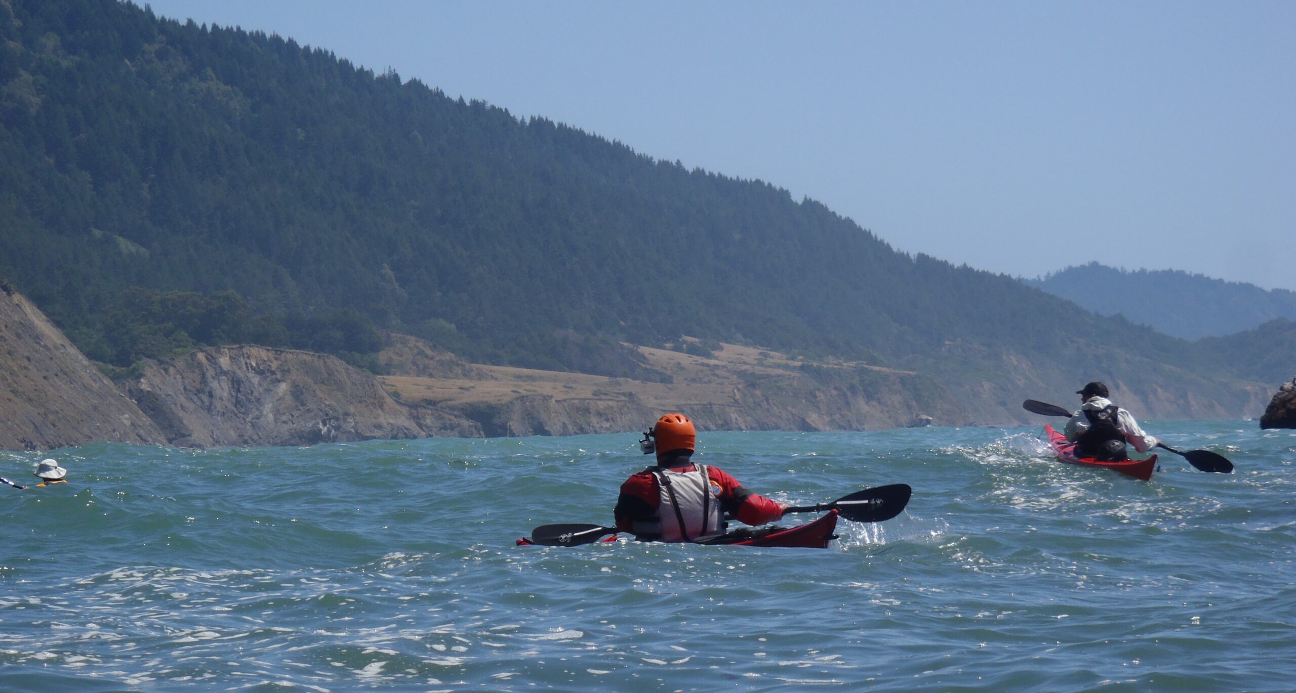
The cliffs increased in height and drama as we headed south on our last day on the Lost Coast. We enjoyed our best day of paddling on the Lost Coast exploring caves and paddling through every arch we could find.
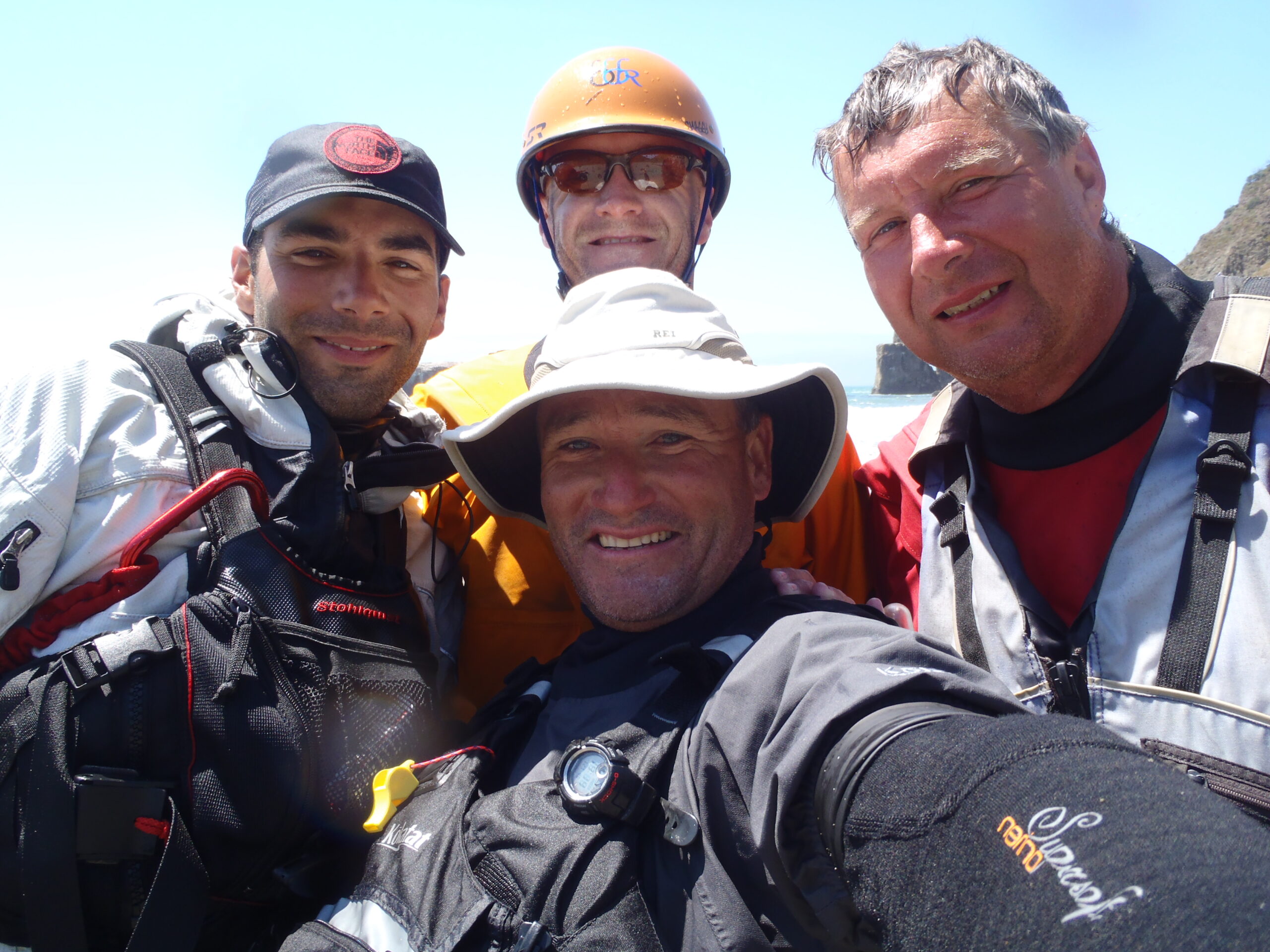
The joy of paddling with friends.