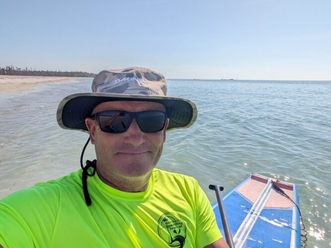
Egmont Key
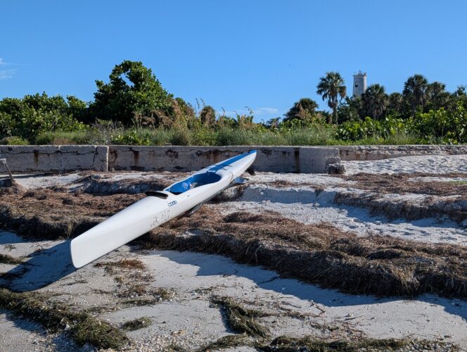
Long before our move to Bradenton became a reality I spent hours looking at Google Maps dreaming about the paddle adventures I could have once I had a kayak here. And top of my list of places I knew I had to paddle to was Egmont Key, a barrier island that guards the entrance to the vast body of water that is Tampa Bay. I'm happy to say that I have paddled around Egmont Key numerous times now and it has more than lived up to my expectations.
The maximum tidal range in Tampa Bay is a paltry 2.5ft. When you compare that with San Francisco Bay (up to 10ft on a King Tide), the U.K. coastline or even the Bay of Fundy (53ft), I was certainly not expecting to encounter much current on the west coast of Florida. There are no real tide races to speak of but there is a surprising amount of current in the various passes between the bays and the Gulf and around the tips of the barrier islands. When combined with opposing wind waves and numerous boat wakes the paddle out to Egmont Key can often be very chaotic with waves coming at you from all directions. That said, if you get out there early on a windless day, it can be absolutely gorgeous and the often crystal-clear water over sugary white sand is picture perfect.
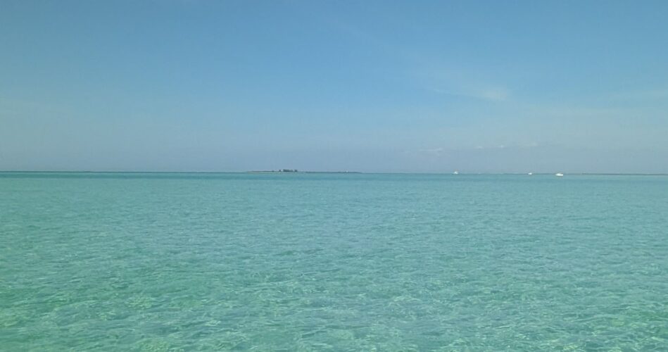
Crystal clear water over Passage Key with Egmont Key in the distance
I normally launch from Bayfront Park on Anna Maria Island. It's free to park and as long as you get there early you'll find a space. It is extremely convenient with a short carry to the water, restrooms and even a shower to rinse the salt from your gear. The three mile crossing to Egmont Key might seem intimidating but it is broken by the ethereal Passage Key that used to be an actual island before erosion, particularly from recent hurricanes Helene and Milton caused it to all but disappear below the waves. I have witnessed its rebirth as a permanent sandbar during the last 12 months but it is devoid of vegetation and is more or less covered at high tide. As long as you don't mind paddling across the shallows, it is definitely worth a visit as I have seen numerous small hammerhead and blacktip sharks almost within touching distance. Just be mindful that the area is a designated wilderness by law passed in 1970, so leave it as you find it and do not disturb any seabirds resting on the exposed sand. Someone needs to remind the many boaters that love to moor in the shallows and walk on the sandbar that they are supposed to stay 200ft from the 'island'.
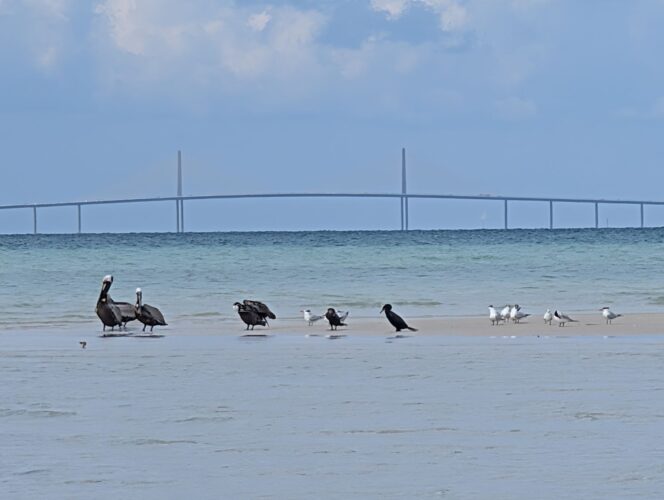
Passage Key with the Skyway Bridge in the distance
A deep channel separates Passage Key from Egmont Key and you'll see every shade of blue as you make your way across. There appears to be a group of large rocks on the Gulf side of Egmont Key. Closer inspection reveals these rocks to be man-made and their existence gives you a clue to the interesting and tragic history of Egmont Key. Named in honor of John Perceval, the second Earl of Egmont, a member of the Irish House of Commons in 1763, Egmont Key has served as a camp for captured Seminoles (Native Americans), a military hospital and in 1898, as the Spanish-American War threatened, Fort Dade was established on the island in 1898 when the Spanish-American War threatened and remained active until 1923. Those large rocks were gun emplacements that were built on the island and clearly demonstrate how much erosion has taken place in the last hundred years since they now lie several hundred yards offshore. Storm surges in excess of ten feet have washed over the island during several hurricanes that have hit the bay. The current lighthouse was built in 1898 to withstand 'any storm' and still operates today.
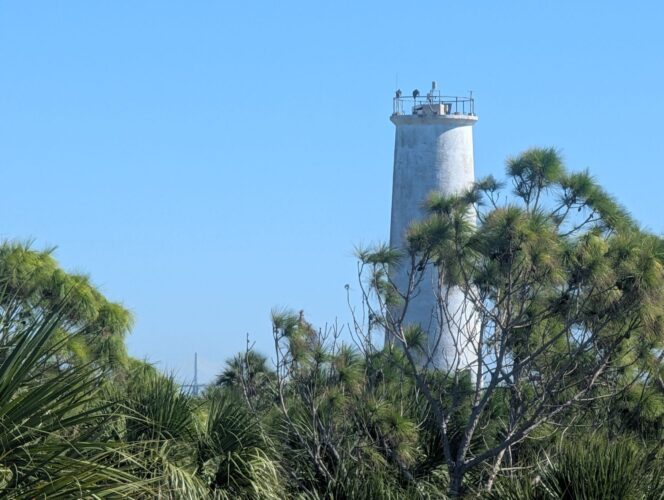
Egmont Key Lighthouse
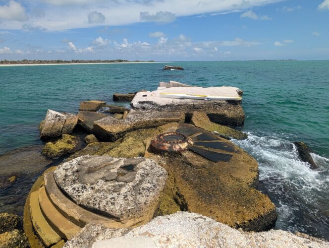
Gun battery with Egmont Key and Anna Maria Island in the distance
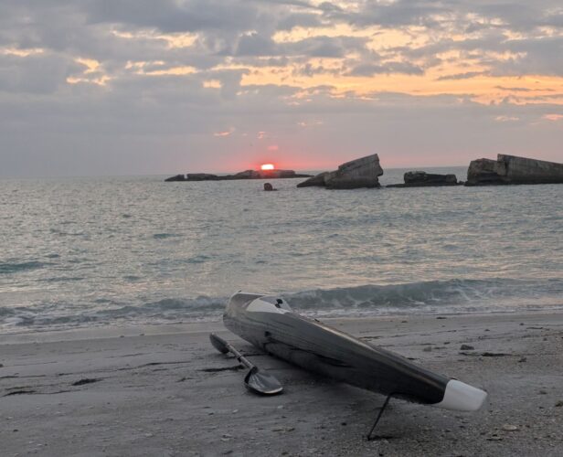
Ruins of gun battery off Egmont Key at sunset
The island is now just under two miles long and about 500 yards wide (250 acres) and a National Wildlife Refuge of beach, weather-beaten pines and cabbage palm trees that provide shelter for many species including sea turtles, gopher tortoises and over 30,000 nesting pairs of birds and other wildlife. There are tons of fish and you'll see ospreys and brown pelicans diving for them. White pelicans and loons migrate here in winter, manatees graze the eel grass on the bay side in summer and dolphins hunt year-round. I highly recommend using a paddleboard (SUP) and polarized sunglasses to enable you to see what's going on underneath the water. Be mindful that a sea breeze can pick up really quickly and make paddling stood up quite challenging. Thunderstorms can develop very quickly in summer and seem too unpredictable to track. There is no fresh water or restrooms on the island so plan accordingly. Boat traffic is an issue for paddlers everywhere on the Gulf coast so make sure you are clearly visible and keep your wits about you. Don't assume they see you and certainly don't expect them to slow down and reduce their wake as they pass. I paddle to get away from people and noise but boaters here are loud and gregarious! I avoid weekends for this reason.